The trails of Kimolos
Hiking on the trails of Kimolos is an experience where you can see pristine Cycladic landscapes, untouched by mass tourism, see volcanic formations and reach inaccessible beaches.
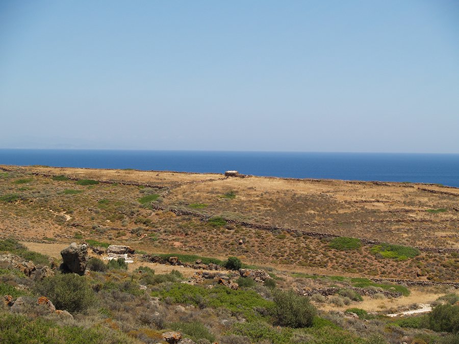
See all trails on the google map and below read one by one for each of them.
Trail 1: Horio - Seladi - Mavrodasos - Ellinika beach
You ascend from Horio to Profitis Ilias towards the east coast of the island. You pass through rural areas and then starts the descent through the slopes of the mountains overlooking Milos. It ends at the beaches of Mavrospilia, Ellinika and Dekas. You can take the bus for the return.
- Easy
- Distance: 5.5 km
- Min elevation: 0 m
- Max elevation: 240 m
Trail 2: Horio - Skiadi - Mavrospilia beach
You ascend Sklavos towards the direction of Skiadi, after Sklavos you'll encounter downhill slopes. It's a great trail as it passes through fields with farmhouses, you'll enjoy the wonderful view to Milos. It ends like path 1 on the western beaches of Kimolos but further north. You can return by bus.
- Moderate
- Distance: 7 km
- Min elevation: 0 m
- Max elevation: 246 m
Trail 3: Horio - Paliokastro - Kastro beach
Just like trail 2 you ascend Sklavos but you follow a northern direction to Paliokastro. At the highest point of the route you'll enjoy panoramic views to all parts of the island. From there it follows the ridge and towards the end it becomes quite downhill. It ends at the beaches of Kastro and Agioklima that form beautiful bays.
In a small horseshoe-shaped beach hot thermal water gushes.
- Difficult
- Distance: 6 km
- Min elevation: 0 m
- Max elevation: 310 m
Download the KMZ file and open it on Google Earth. On the left pane, right-click on the trail and select "Show elevation profile" to display the elevation chart. The GPX file upload it to a GPS device.
Trail 4: Horio - Perrou - Monastiria - Soufi
A trail heading north to Monastiria and Soufi beaches. Easy but in the end it becomes very downhill.
- Difficult
- Distance: 6 km
- Min elevation: 0 m
- Max elevation: 209 m
Trail 5: Horio - Himeli - Agioklima beach
It ends too at the beaches Kastro and Agioklima such as trail 3. Smoother in terms of slopes, however in the end it becomes very downhill.
- Difficult
- Distance: 6 km
- Min elevation: 0 m
- Max elevation: 245 m
Trail 6: Horio - Patelida - Makropounta beach
A trail that leads to the northwest coast of the island which at Sklavos it branches off: one branch leads to Makropounta beach and the other to Vroulidia beach. It's easy up to Sklavos but then the slopes become difficult.
- Moderate
- Distance: 6 km
- Min elevation: 0 m
- Max elevation: 245 m
- Moderate
- Distance: 6 km
- Min elevation: 0 m
- Max elevation: 245 m
Trail 7: Horio - Roupas - Monastiria beach - Soufi beach
Although it passes through fields it's the most difficult trail of all since it includes ascent and descent of a mountain. It ends on the north coast at Monastiria and Soufi beaches.
- Difficult
- Distance: 5 km
- Min elevation: 0 m
- Max elevation: 197 m
Trail 8: Horio - Aliki - Ellinika
It's a dirt road that starts from the village and crosses the smooth southern coasts of the island. It ends at Ellinika beach like trail 1 but you have the options to turn to the beaches Aliki, Bonatsa and Kalamitsi. You can return by bus.
- Easy
- Distance: 4.5 km
- Min elevation: 0 m
- Max elevation: 88 m